The 96 mile West Highland Way stretches from Milngavie, Glasgow to Fort William. The West Highland Way follows a mixture of cattle paths, old military roads, and drover tracks while undulating alongside Loch Lomond, over moorland, and through forests.
The West Highland Way is undoubtedly the most famous long distance hiking trail in Scotland and the most popular walking route of all the long distance routes in Scotland.
Offering stunning scenery across the Scottish Highlands with ample support services along the route, the route is one of my favourite multi-day hikes.
About 36,000 people complete the WHW each year. With only about 14,700 feet of elevation gain and loss, the West Highland Way is suitable for walkers of all abilities. The cosy hotels, B&Bs, guesthouses, and campsites along the route help ensure that everyone’s journey is both successful and special.
The West Highland Way doesn’t require a great deal of logistical experience or preparation, but there are still a few things you need to consider if you want to complete the entire West Highland Way.
This guide is based on my personal experience on the trail, and it contains everything you need to know when preparing for your West Highland Way adventure. One thing to note is you don’t have to walk south to north as most people do. You can get a bus or the train from Glasgow to Fort William and walk south – but you will be in the minority and perhaps miss out on the friendships that are made on the West Highland Way.
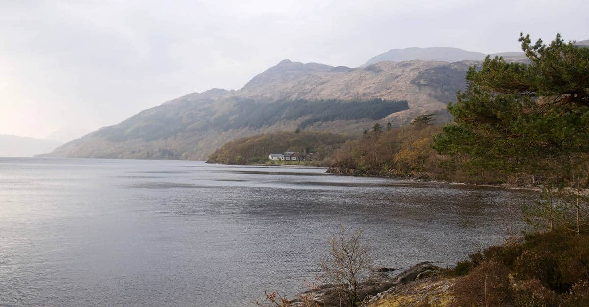
Scotland is widely known for its rugged, wild landscapes all over the world. It’s no surprise that it offers one of the most popular long distance trails in the whole of Britain. If your heart is yearning for dramatic sceneries, rocky hills and mountains, idyllic lochs surrounded by vivid greenery, rich history and a bit of adventure, West Highland Way might be just the right remedy for your longing.
The trail was envisaged by Tom Hunter, a passionate hiker and lover of the outdoors from Glasgow. It was approved for development in 1974 and opened in October 1980 by Lord Mansfield which made it the very first officially designated long-distance hiking trail in Scotland. Today, around 30,000 people from all over the world walk West Highland Way each year which encouraged the development of a decent service infrastructure along the way.
Overview of Route
Traditionally, hikers walk the way from South to North which keeps the sun out of your eyes leading them from less to more challenging terrains towards the end.
The path starts off in the small town of Milngavie walking you through pastoral landscapes beneath the Campsie hills, passing the mysterious charm of Loch Lomond into the increasingly rougher and wilder Scottish Highlands. Then the route crosses the astonishing Rannoch Moor, boggy moorland, Loch Leven, and finally, via the beautiful valley of Glen Nevis, reaches the famous Fort William.
If you are interested in similar walks, check out our post on the best alternatives to the West Highland Way.
Extensions
If one week in the Highland wilderness is not enough, extending the journey on both ends is possible.
To add a few miles to the beginning of your journey, you can start in the heart of Glasgow, and follow the Kelvin Walkway all the way to Milngavie. Or, you can extend your trip at the end, after reaching Fort William, by continuing on the Great Glen Way leading to Inverness or the unofficial East Highland Way to Aviemore.
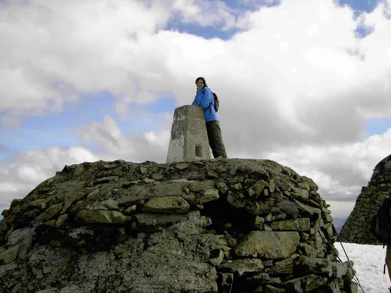
If you don’t have that much time but still enjoy a challenge, you can climb the UK’s largest mountain Ben Nevis which is right at Fort William. The paths are good enough, and the hike is not extremely difficult, just long.
Why Walk the WHW?
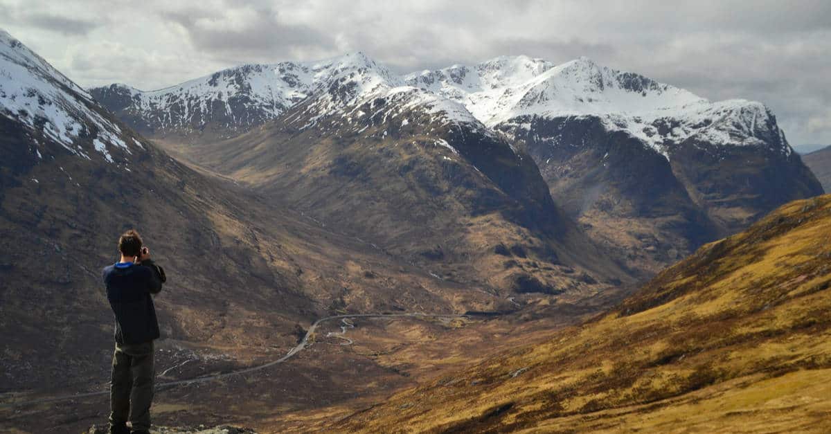
There is a good reason why the West Highland Way became the first official long-distance trail in Scotland. It offers an excellent introduction to the Scottish Highlands.
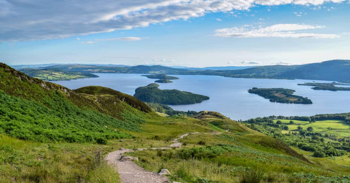
Taking hikers through beautiful landscapes beneath Ben Lomond and later the gorgeous moorland of Rannoch Moor, past serene lochs such as Loch Leven and along the eastern shore of Loch Lomond, before reaching the foot of Britain’s highest mountain, Ben Nevis, via the majestic Glen Nevis, the West Highland Way offers a tremendous variety of hill walking.
The West Highland Way has enough challenges and ascents to inspire imagination, and, at the same time, it is within the capabilities of most walkers – there are not many steep climbs. If you are a particularly keen hiker, do know that Fort William is an excellent base for exploring the rest of the Western Highlands and it has some great hotels.
Like many hikers, I chose to climb Ben Nevis, the UK’s highest mountain, upon completing the trail. Alternatively, you can walk the unofficial East Highland Way or the Great Glen Way. If you’ve had enough of hiking, there’s still plenty you can do in Fort William and the surrounding area. For instance, you can ride the iconic Harry Potter steam train from Fort William to Mallaig.
Terrain
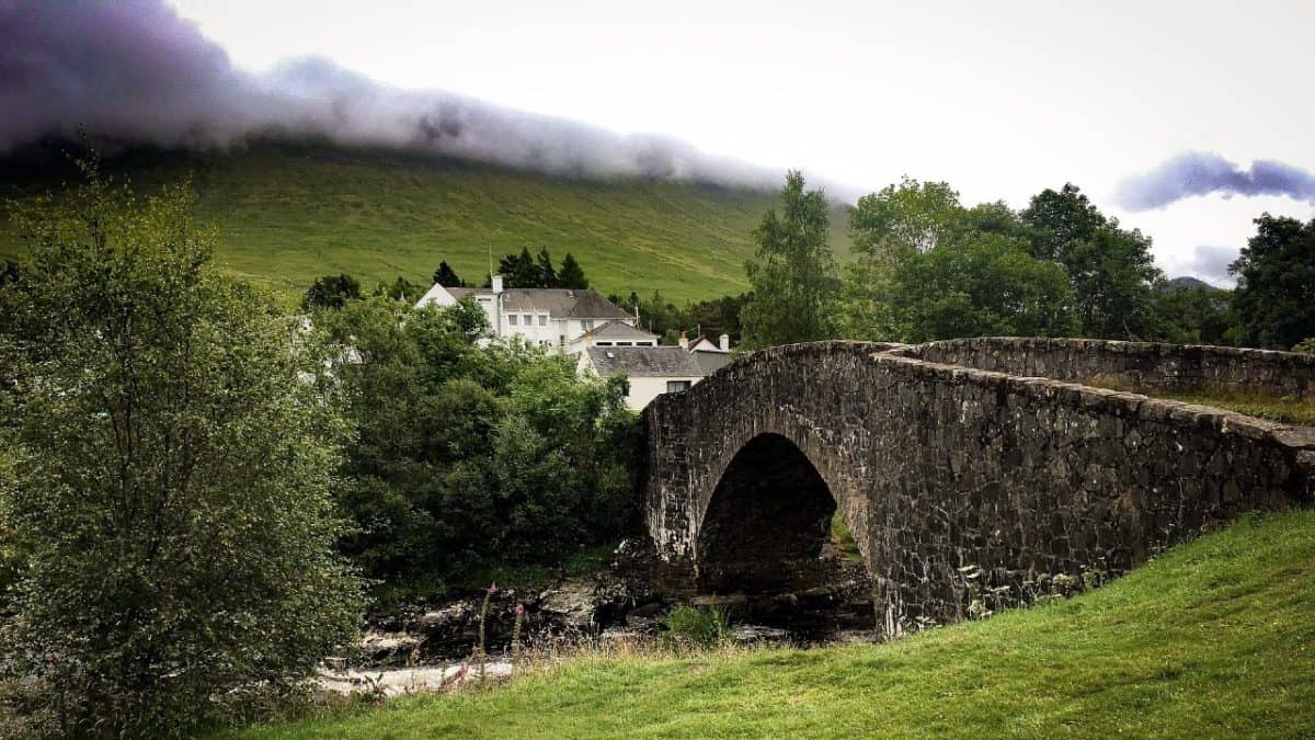
The trail follows many ancient roads such as old drover, military, and coaching roads leading you along lochs, through forests, and up rocky hills. Usually, it’s in good condition and walkable by most as it avoids the highest hilltops. Nonetheless, there are some steep hills and big hills waiting for you as you make your way to the north.
In any case, any steeper climb will reward you with breathtaking scenery, so make sure to have your camera ready. If you are not a frequent or experienced long trail hiker, you should do some prep since the hilly nature of the trail can be quite a challenge for the knees.
Waymarking
The West Highland Way emblem is a simple white thistle within a hexagon on a wooden post. It’s pretty sensibly distributed, so you don’t need to be worried about getting lost. However, beware that where the line of route is extremely clear (e.g. across Rannoch Moor), there is no waymarking.
Also, while the waymarking is pretty clear do not expect signposts with timings and distances commonly seen along hiking trails in the rest of Europe. Thus, while it’s unlikely to get lost, it’s essential to have a map in order to keep track of distances, campsites, and other services.
When To Go
Due to its location, the trail is best walked between April and October. Before that, you will be greeted with snow, rain, and difficult conditions overall. Late spring is a perfect time to walk, especially if you want to avoid the notoriously dreaded midges present in the area in the warmer months of the year.
Accommodation
Given the popularity of the trail, there are numerous accommodation options along the way ready to cater to all your needs and requirements. That said, the trail can get busy, especially in the summer months, so it’s worth booking in advance if you are planning to stay in hostels or hotels.
Bunkhouses and Hostels. If you don’t want to carry around camping equipment but want to stick to a low budget, this type of accommodation is perfect for you. All of them have either mattresses or beds to sleep on and most also provide full cooking facilities. You will probably need to bring along your sleeping bag though.
Bed & Breakfast. B&Bs offer not only a comfy refuge but also a small glimpse into traditional Scottish food and way of life. They are pricier but much more personal than hotels.
Guest Houses and Hotels. Larger than B&Bs they usually offer dinner as well as a comfy lounge to relax. They are all very welcoming and used to catering to hikers, however, they are quite expensive.
Camping Sites. And of course, let’s not forget about the numerous camping sites on the West Highland Way. Camping requires carrying more weight on your back but gives you more flexibility in return as camping sites have plenty of spaces available throughout the year. Most campsites are well equipped with toilets, showers, launderettes (some), and shops. And make sure to follow Scottish Outdoors Access Code while staying out.
Best Guide Books
Again, thanks to the trail’s popularity, there is no shortage of good guidebooks.
The first one worth mentioning is The West Highland Way: The Official Guide by Bob Aitken and Roger Smith which has been out since the opening of the trail in 1980. The most recent edition is from 2013, so it’s still pretty up to date.
The next one, West Highland Way put together by Anthony Burton and published by Aurum Press, is well written and really easy to follow. The huge benefit of this book over its competitors is the map featuring Ordnance Survey mapping at the 1:25,000 scale (as supposed to usual 1:40,000). The last update was published in 2016.
Last but not least, there is Trailblazer British Walking Guide: West Highland Way by Charlie Loram. This book provides extensive information on accommodation, facilities, towns, and villages as well as walking instructions with 53 drawn large-scale walking maps at 1:20,000 scale. Many hikers love the drawn maps as they are quite detailed. However, it might be good to have a proper map with you.
Travel Along The Route
Getting to Milngavie is relatively easy as it has frequent rail services from and to Glasgow which is only 20-25 minutes away. Trains from Glasgow leave from Glasgow Central or Queen Street and stop in Ardlui, Crianlarich, Tyndrum, Bridge of Orchy and Fort William. You can access timetables on the official Scotrail website.
Alternatively, you can travel to Milngavie by bus from Buchanan Street bus station. Also, Scottish Citylink runs a regular bus service between Glasgow and Fort William which stops in Inverarnan, Crianlarich, Tyndrum, Bridge of Orchy, Glen Coe and Ballachulish. It’s recommended to book a seat in advance as this line gets busy.
West Highland Way Map
Milngavie to Gartness (17km )
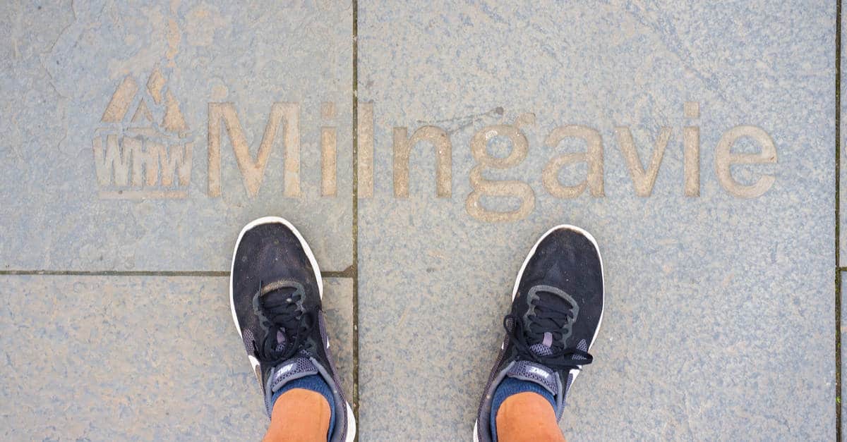
This is the obelisk in Milngavie where the West Highland Way route officially begins. Time for the photos and move on. Apart from getting a bite to eat, I don’t think the Milngavie holds much for the walker of the West Highland Way.
That said I know that in any long-distance walk or any hillwalking for that matter, I am usually happy to leave civilization behind quickly. As I grew up a few miles down the road from Milngavie I had no interest to wander around it.
The main place here that most hikers would have a stop to look at is the Iron Chef; this houses the West highland Way Information Centre and the bag-carrying company Travel Lite. Their baggage transfer service, for the whole route, is only £33, fairly cheap I thought. So anything that you have forgotten will be here. They are located about 100 meters from the start here. Get or have cash before leaving Milngavie.
The first few miles out of Milngavie is easy going, on the whole, the first day on the West Highland Way to Drymen is a walk in the park, several parks actually. This is the easiest of all the days along the route a good time to get the muscles used to walking all day, especially if you are carrying your own rucksack.
The noise from Milngavie disappears very quickly, it is a small town. The path leads directly to the right of the obelisk above, where there are also two West Highland Way benches. Head down into a small car park, cross and follow the signs, and feel the tension of city life ease away from your body.
Shortly the path turns and follows the Allander Water following the bank, then it turns again after a few hundred meters and heads uphill through the higher part of Allander park. There are some views over the edge of Glasgow from the top of this small rise.
The next park is Mugdock Wood, and the way continues easily along small paths. Mugdock Castle is contained here – it has toilets, a gift shop, and a small cafe should you need it.
The continues down a small road after Mugdock, then along part of the Allander Burn, then along the west shore of Craigallian Loch. From here you can now see Dumgoyne Hill at the western flank of the Campsie Hills. There is a short walk along the B821 the turning right and walking along fairly flat ground passing Carbeth Loch. Turning right again off the B821, cross the road, over the stile, then walk down Tinker Loan. From here the path drops down again, with a view of Ben Lomond, that is where we will pass the next day.
After the route drops down into Strathblane it is fairly flat easy farmland for the rest of the day, good views surround you however they are far out of reach. Along this part, we walk an old disused railway track most of the way to Gartness.
About halfway between Milngavie and Gartness, just before Dumgoyne, is Glengoyne Distillery. There are tours every hour from 10 am, Monday to Saturday. Worth a stop I think, and a little dram!
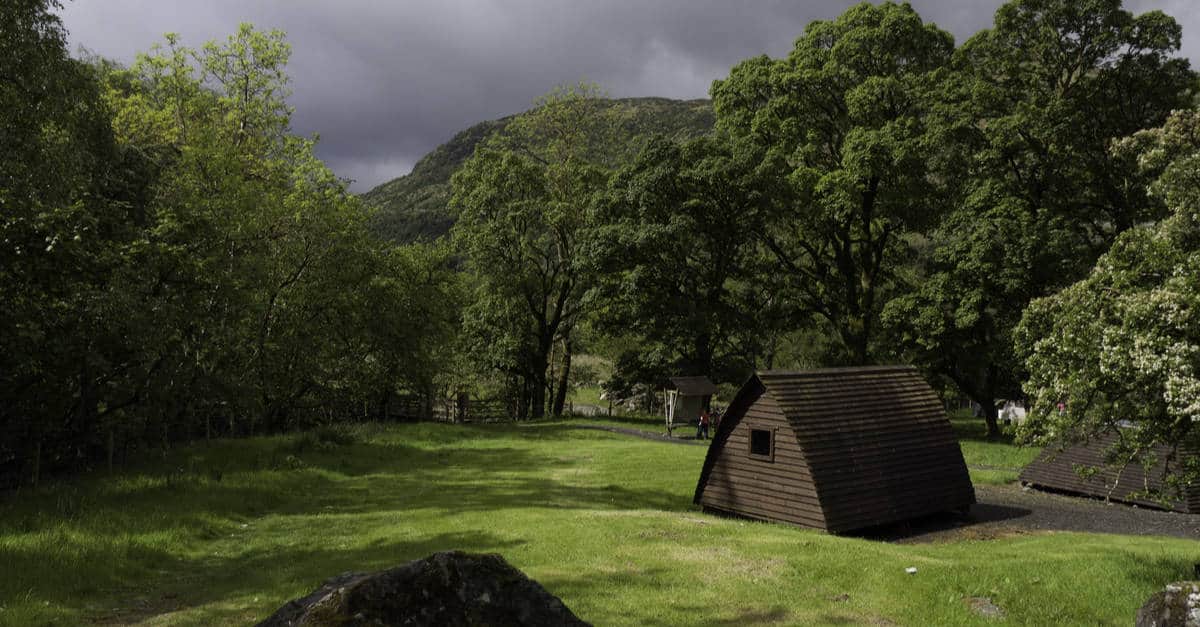
The West Highland Way follows the road from Gartness to Drymen. However I don’t get as far as Drymen, my first night was at the Easter Drumquhassle Farm, sharing a wigwam for the night. This is about halfway between Gartness and Drymen. An easy walk to Drymen to have some food in the evening, where there are a few places to eat.
Easter Drumquhassle Farm has three options for hikers on the west highland way. They have a Bed & Breakfast, Camping, and wigwams which are used as bunkhouses and sleep up to six people.
Gartness to Rowardennan
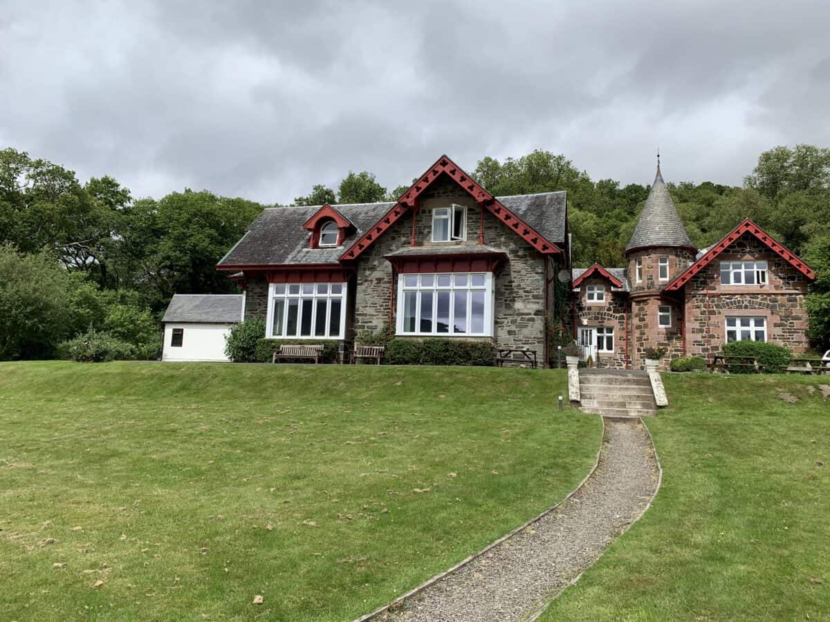
My first day was fairly easy, however, it always takes that day for my feet to get used to walking and my legs to be aware that they are also carrying a backpack and for me to slow down somewhat.
One of the things I learned a few years back when walking the Camino de Santiago, was to slow down – not to hurry everything – but it takes that first day to get this message into my head and body again. Walking a bit slower than normal makes life easy for my body and I always get to where I am going, maybe half an hour later – but that is fine as I get to really see all that is around me.
Drymen is the last place until Crianlarich for any reasonable shops. There is one small one in Balmaha, bear this in mind if you are carrying your own food.
Half an hour after leaving I pass through Drymen. Today I am heading towards Rowardennan. Today is 25km instead of yesterday’s easy 17km, I am looking forward to getting past Rowardennan, I know all of this area from my childhood and look forward to leaving the known behind after Rowardennan.
From Drymen to Balmaha is about 11km, a good place for lunch. There is a choice of routes here. Leaving Drymen there is the choice of two routes. The official route – walk east out of Drymen for about 500 meters, then it turns north.
It is the longer route by far, however it is the most interesting, has great views, and stays away from the road all the way to Balmaha. It goes up into Garadhban Forest then round Conic Hill before descending into Balmaha. Halfway along this route there is also an option to walk down and join the road at Milton of Buchanan, then continue along the road to Balmaha.
The most direct route is to walk along the path at the side of the road, (B837), all the way to Balmaha. This is okay except for weekends when the road can be quite busy. The views walking along the road in no way can compare to the higher route around Conic Hill, it is mostly like a forest walk.
In Balmaha there is a shop, a cafe, a pub, and a visitors centre. There are buses back to Drymen, but none going any further towards Rowardennan.
I often think that the distance between Balmaha and Rowardennan is very short, a few km’s, it’s not it is 11km, I am used to driving this road, and have parked many times at Rowardennan to climb Ben Lomond.
The afternoon journey to Rowardennan should not be hurried. The path follows the edge of Loch Lomond, however, it is harder than it first seems. There are many little ups and downs for the next 11kms, sometimes the path follows the road – okay apart from the high season when the whole section is very and I mean very busy. However, please do not walk the whole length of the road here – keep to the West Highland Way route. Walking along the side of the road here can be dangerous, it is a very narrow road – often with too many cars. Only walk along the side of the road when there is a path at the side.
Rowardennan is beautiful and a great place to chill and watch the sunset over a beer at the one and only local, which also provides accommodation like a hotel.
Look up to your right – that is Ben Lomond – so perhaps it is worth an extra night here and walk up the Ben. It is fairly easy as Munros go, but still, a day’s walk.
Rowardennan to Inverarnan
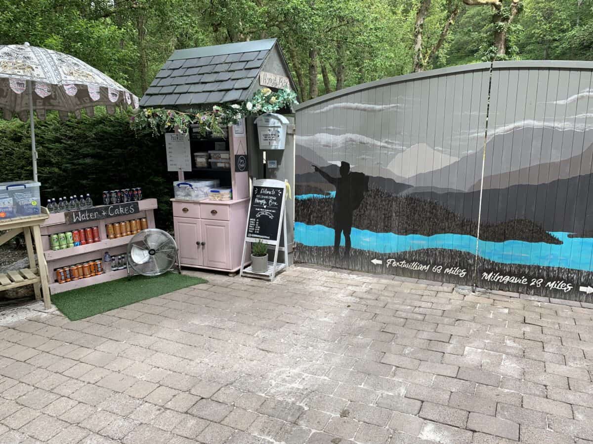
Now I get to go exploring and walk on new ground. It is a beautiful walk, on the left side Loch Lomond and Ben Lomond on the right, up the full eastern side of the Loch. I had driven many times the opposite side of Loch Lomond and had wanted to walk the bit that I could not get to by car, it had been a long time coming, and I was glad to be here; however as always with hikes like this, my body was sore and took a while every morning to loosen up. No matter how fit I think I am before starting any long walk, I find the truth after a day or two.
From Rowardennan to Inversnaid is 11km along the top end of Loch Lomond. If you are walking in high season, this will now provide a welcome relief from all the tourists and their cars.
Shortly after leaving Rowardennan, there is a choice of hiking routes. The higher route is by far the easiest. I have since walked along part of this again on the path that follows the side of the loch and I found it hard going and fairly muddy. The high route is along a forest track. Both routes join again just after Rowchoish Bothy.
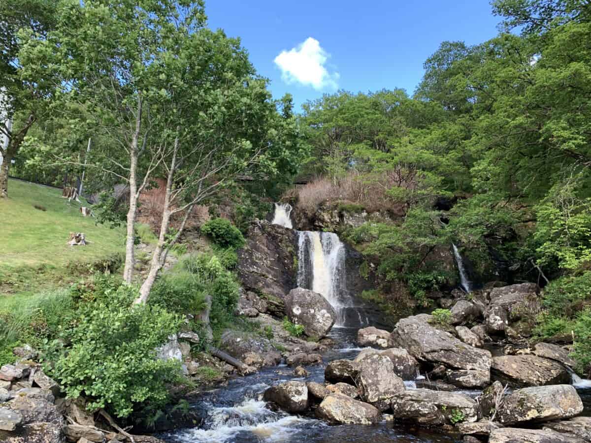
Just before walking into Inversnaid you will cross the burn and have a great view of the waterfall there. There is a hotel at Inversnaid about 11km from Rowardennan so about halfway through the day, therefore if you don’t have your own food with you for lunch it is a good place to stop for lunch. The other alternative is the Inversnaid Bunkhouse – the Bunkhouse has now closed (Jan 2008), it is about ten minutes further on. They have a coffee shop and bar. The camping management zone ends just after Inversnaid, so you are free to wild camp on this part of Loch Lomond.
After lunch, it is another 10km to Inverarnan and the end of my day. Many other hikers rate this part as the hardest part of the West Highland Way due to the constant ups and downs of the path, also it can be a bit rough underfoot, though I find it beautiful and wild. It does help not to be hurrying. The path for the first half of the afternoon winds along rocky paths through the forest. Towards the end of the day, we leave Loch Lomond behind and walk into Glen Falloch and shortly to Inverarnan and a well-deserved rest at Beinglas Campsite. (Please note if you want to stay here in the wigwams during any busy times it is advisable to book in advance)
Inverarnan to Bridge of Orchy
Day four on the West Highland Way is Inverarnan to Bridge of Orchy (32km)
Leaving Inverarnan we continued along Glen Falloch. The scenery is beautiful the walk to Crianlarich is easy. The West Highland Way route goes along tracks and an old military road following the river Falloch. However, I want to have a rant here. While walking along this beautiful part of Scotland you share it with ugly electric pylons, the Highland Railway (not too bad and quite quaint), and my ears were constantly blasted by the traffic noise from the nearby A82. I forget how much noise cars and lorries make when travelling at speed until I am walking near them and hear them for too long.
Anyway, moving on. If you don’t have enough time to walk the whole West Highland Way, Crianlarich is a good place to start, (perhaps also finish). There is a train station here and you can get the train directly from Glasgow and have four days walking from this point. I would advise that the later parts are the better days than walking here, even though the Loch Lomond area is beautiful and mostly unspoiled.
If you have a quiet day, (or earplugs), parts of this day can seem quite idyllic. Initially walking along the side of River Falloch and then on an old military road. It is all easy going before Crainlarich, though mostly uphill out of the basin of Loch Lomond.
From Crianlarich, the rest of my day is easy walking. I chose this day to be a bit longer, thinking, from my reading, that it would be good for the long day I needed to finish in seven days. The rest of the way is fairly easy-going along an old military road. There are hills and valleys, however, all are gentle slopes.
If you have only arrived at Crianlarich around lunchtime consider only walking as far as Tyndrum. There is nothing between Tyndrum and Bridge of Orchy. Not a great time to run out of food or water.
Bridge of Orchy to Glencoe
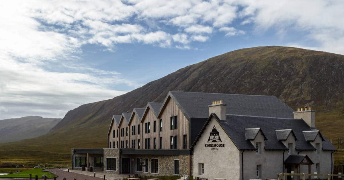
Day five on the West Highland Way is Bridge of Orchy to Glencoe (Kingshouse) (19km)
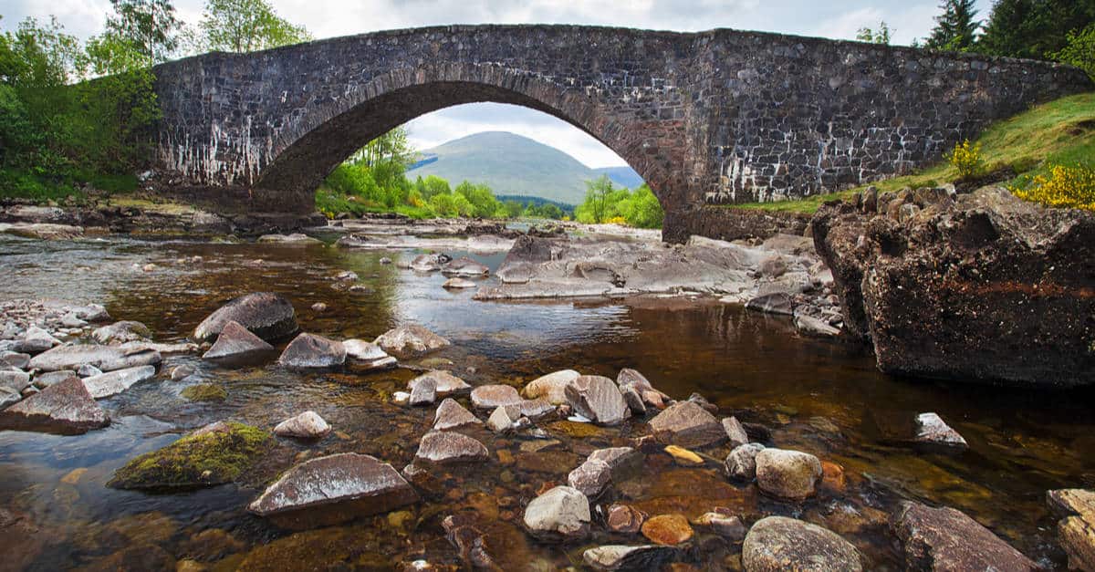
The West Highland Way continues out of Bridge of Orchy by crossing the River Orchy.
An easy 19km’s after the hard going of yesterday 32km. I find that it is better for me to vary the amount that I walk each day, and that too many hard days together leave me tired and not enjoying my walking.
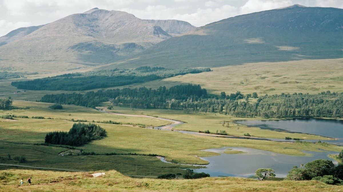
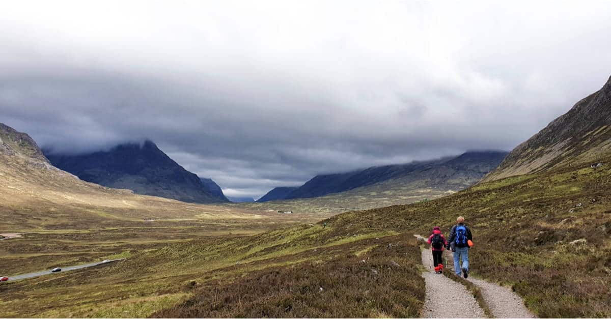
There is almost nothing between Bridge of Orchy and Kingshouse, except for Inveroran (4km). The Way goes up the old military road, through the plantations, eventually reaching a peak at just over 300m, and giving open wonderful views over the Blackmount Forest. You are now on Rannoch Moor, the largest uninhabited wilderness in the UK.
Then it is an easy downhill towards Inveroran, beside Loch Tulla, and the hotel, the last chance until Kingshouse to have some food and coffee or tea. There is a local Loch Awe website that lists good information about this area and a list of hotels and Bed and Breakfasts. It is a good area to stay if one wants to walk from a base for several days, and there is a lot of great walking and great hills in this area.
West Highland Way Maps, Day Five, Walking in Scotland
The West Highland Way continues around Loch Tulla, to the next stop at Kinghouse. It should be noted here, this next part of the route is completely exposed, there is nowhere to rest or stop in bad weather, e.g. heavy fog or snow. However, there is a good track all the way to Kingshouse. It is possible along this track to sometimes spot a red deer.
There is another slow climb to about 300m leaving great views behind over Loch Tulla and some good chances for photos. From Ba Bridge the route climbs slowly again to the high point in the valley (about 400m) then descends again towards the A82; Kingshouse is not much further after with good food and a bed for the night.
Along this stretch, it is fairly easy to imagine that there is no one nearby, that I have the mountains of Scotland to myself. It is beautiful, bleak sometimes, and can be if you are lucky lonely. Not so tomorrow, Glencoe is a very popular destination, and the devil’s staircase, just from the name stops many tourists.
Glencoe to Kinlochleven
Day six on the West Highland Way is Kingshouse, Glencoe to Kinlochleven (14.5km)
Leaving the low-lying land of Kingshouse the West Highland Way slowly ascends until the Devil’s Staircase (550m). From here it is a slow descent to Kinlochleven.
Leaving Kingshouse the route shadows the A82 until Altnafeadh; before here though and only about 1 km out of Kingshouse there is a choice of two paths. The higher route and easier one follows the old military road, the lower and slightly longer road follows River Coupall.
Both routes meet at Altnafeadh where they strike out to the right and north away from the A82. The route should not present any difficulties for anyone who has little walking fitness. The name Devils Staircase really makes it sound much harder than it is; it is a zig-zagging path to the top.
West Highland Way Maps, Day Six, Walking in Scotland
Once you’re passed the Devil’s Staircase the route is open to all weathers. Have a compass and map and know how to use them. It is not a good place to have to wait out any mist or snow clearing before being able to move on, as there is no shelter. That said it is a glorious part of the route, with stunning views of the mountains around and the Glen at Glen Coe. Read this post if you want to camp at Glen Coe.
Leaving the top of the Devil’s Staircase the route wanders along flatly for a while before beginning to slowly descend. The descent becomes steeper the closer you get to Kinlochleven, eventually joining the old works road, leading down into the town.
Kinlochleven itself has a good choice of accommodation from hotels to Bed and Breakfast.
Kinlochleven to Fort William
Day seven on the West Highland Way is Kinlochleven to Fort William, (the last day! But a good 22.5km)
My last day on the West Highland Way, but not my last day of walking, Ben Nevis is next, a have to since I don’t know when I will be back in this area, and really it has to be done.
Leaving Kinlochleven the military road climbs steeply out of Loch Leven valley to about 250m and continues to rise though not as steeply to the summit of the Lairigmor, just over 300m.
Often I think before starting any long walk that I will have time to “think about things.” I forget that it does not happen like that for me, what normally happens is that during the first day or so I notice how fast my head is moving. Walking slowly along all this thinking slows down and nearly stops – it is quite a relief and a holiday from normal daily living. However, sometimes my mind wanders to how small I am. This is the type of place where it often happens.
After Lairigmor the mountains close in, and the valley is all that I see stretching out before me. I feel my smallness in the whole scheme of things. As a human I have a life, I know lots of people, I love, laugh, and cry – but out here… Out here I connect with something else that puts a perspective on my life that does not happen as I sit each day in front of a computer thinking how important what I am doing is, and how quickly it has to be finished. Out here there is freedom, one that I find difficult to put into words; I matter and I don’t, in equal measure, that’s as good as it gets.
The route continues. And I walk, feeling a connection to the world that is missing in my hectic life. The mountains keep me company, and lead me around and then down into Glen Nevis, back to life and civilisation. The end of the way is a walk in a park, literally and metaphorically. Through first the plantations, then the lower forests along the roadside and into Fort William. It is good to finish, however, Fort William is a busy town at most times of the year, and I have become used to a little quieter than I get at first – then I fade into it all, once again. There are a few nice places to camp around Ben Nevis.
Where is the West Highland Way?
The West Highland Way begins in Milngavie, a suburb on the northern fringe of the conurbation of Glasgow. The easiest way to get there is via CityLink from either Edinburgh or Glasgow. It’s about a 25-minute ride from Glasgow Queen Street Station.
The train will drop you just a short walk from the start of the West Highland Way. There are clearly marked directions just outside Milngavie Train Station that will show you how to get to the start. For your return, the train, as well as many buses, are available from Fort William. The West Highland Line that runs from Mallaig to Glasgow is one of the most scenic train rides in the United Kingdom.
Most people choose to hike the West Highland Way from south to north. It’s easier to begin your adventure in Milngavie. It makes for better acclimation and the sun won’t be getting in your eyes all the time. You can hike the West Highland Way in the opposite direction, but completing the hike with the beautiful Ben Nevis range is much more rewarding than ending it with a bus ride from Milngavie to Glasgow. 🙂
What is the Best Time to Walk the West Highland Way?
Any month during the hiking season can have anything from a downpour to a heatwave. That said—spring, early summer, or autumn is the best time to hike the West Highland Way.
The West Highland Way is most “crowded” from May to August. Now, when I say crowded, I am really only referring to accommodation and certain points along the trail. You won’t see that many people on the trail itself. Thanks to the winding route of the trail, fellow walkers quickly disappear behind the corner. This gives you the illusion of being alone on the trail. But, as soon as you reach the first rest stop or guest house, the illusion disappears.
And, you will see many tourists around popular attractions and in Fort William. If you plan on hiking the West Highland Way in the summer, you should book accommodation at least 3 months in advance.
Most people start walking the West Highland Way on a Saturday, so it’s best to pick some other day of the week to begin your walking holiday. This way, you will have an easier time finding a place to stay. If the lack of accommodation options makes it difficult for you to walk the WHW this year, there are still many other long-distance hiking trails in Scotland you can consider.
And, if you are coming from abroad, be prepared to face the infamous Highland midge. Midges are prevalent during the summer. I don’t think midges are as much of a nuisance as most people make them out to be. Yes, they are annoying and they like to bite, but they won’t bother you when you’re walking. They are not a good enough reason not to hike the West Highland Way in summer. Just make sure to bring a midge repellent and a midge net. A regular mosquito net won’t work; it will let them right through.
The trail can get a bit hectic when there are some special events going on, such as the West Highland Way Challenge Race or the Altra West Highland Way Race. Most of these are in summer, but each lasts just a couple of days. Whether you want to participate in such events or avoid them altogether, it’s good to be informed about them. Check this post to find out more.
You won’t have to worry about midges or crowds if you walk the trail in spring. However, finding overnight accommodation over the Easter holidays can be difficult.
May has the most hours of sunshine and the least rainfall. But it is also one of the most popular months for walking the West Highland Way. The crowds and midges begin to subside come September. The trail looks exceptionally beautiful in autumn. Green fern and grass swap places with purple heather and orange bracken.
While the temperatures are usually very comfortable in September, it is very rainy. Moreover, the northern half of the trail leads through a treeless landscape and the open countryside, so you may have a hard time finding shelter from the rain. That said, I had a wonderful time walking the West Highland Way in September. But I made sure to pack the right waterproofs and layers for the whole journey. If you pack the right gear, you won’t need to worry about this either (more on this later on).
You can undoubtedly expect bad weather if you hike West Highland Way in March or October, but it is still doable.
Some experienced walkers choose to walk the West Highland Way in winter. But this is definitely something most of us shouldn’t even try. It’s not just that it’s a physical challenge, but many shops, hotels, and campsites along the trail are closed during winter. Moreover, the sun sets around 4 PM and comes back around 8 AM. Check out our tips on planning for the West Highland Way as well.
How Long Does It Take to Walk the West Highland Way?
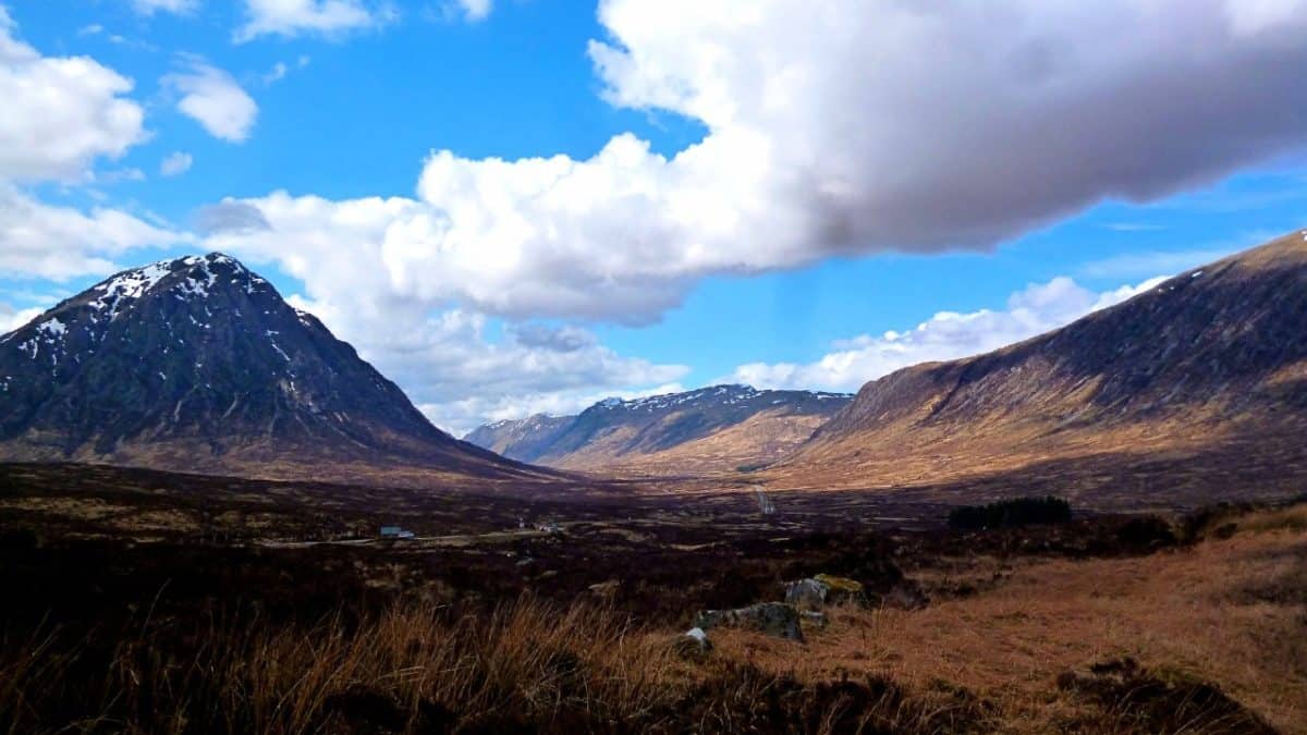
It took me 7 days to complete the entire West Highland Way (excluding rest days). Most walkers choose to split the WHW into 6 to 8 days. Don’t forget to add an arrival and departure day if you’re coming from abroad.
You will cover 12 miles per day on average if you opt for an 8-day itinerary. If you are not in a hurry, you can easily plan a two-week walking holiday on the West Highland Way.
There are many iconic attractions you can explore along the route, including the Glengoyne Distillery, Mugdock Castle, the Trossachs National Park, and the tranquil wooded isle of Inchcailloch. If you are up for a challenge, on the other hand, it’s possible to complete the entire West Highland Way in 5 days.
6-Day Itinerary
- 1st Stage: Milngavie to Balhama — 19 miles
- 2nd Stage: Balmaha to Rowardennan — 7 miles
- 3rd Stage: Rowardennan to Inverarnan —13.5 miles
- 4th Stage: Inverarnan to Bridge of Orchy — 19.5 miles
- 5th Stage: Bridge of Orchy to Kinlochleven — 21.5 miles
- 6th Stage: Kinlochleven to Fort William — 15 miles
7-Day Itinerary
- 1st Stage: Milngavie to Drymen — 12 miles
- 2nd Stage: Drymen to Rowardennan — 13.5 miles
- 3rd Stage: Rowardennan to Inverarnan — 13.5 miles
- 4th Stage: Inverarnan to Tyndrum — 13 miles
- 5th Stage: Tyndrum to King’s House Hotel — 18.5 miles
- 6th Stage: Kingshouse Hotel to Kinlochleven — 9 miles
- 7th Stage: Kinlochleven to Fort William — 15 miles
8-Day Itinerary
- 1st Stage: Milngavie to Drymen — 12 miles
- 2nd Stage: Drymen to Rowardennan — 13.5 miles
- 3rd Stage: Rowardennan to Inverarnan — 13.5 miles
- 4th Stage: Inverarnan to Tyndrum — 13 miles
- 5th Stage: Tyndrum to Inveroran or Bridge of Orchy — 8.5 or 6.5 miles
- 6th Stage: Inveroran or Bridge of Orchy to Kingshouse Hotel — 9.5 to 11.5 miles
- 7th Stage: Kingshouse Hotel to Kinlochleven— 9 miles
- 8th Stage: Kinlochleven to Fort William — 15 miles
Budget
First, it’s important to note that most campgrounds, pubs, and smaller shops require cash. However, large supermarkets accept major credit cards.
How much you will spend mainly depends on two factors – where you will eat and where you will stay. Since there is a wide variety of accommodation options on the West Highland Way, you can hike on a shoestring budget or you can go all out.
The cheapest option on the West Highland Way is to wild camp and prepare your own meals. I was happy to spend more on warm meals, but I tried to keep my budget at a low level for accommodation. When I stayed in hostels, I paid between £14 and £30 ($20 and $42) per night. On average, I spent around £15 per meal in local pubs, including a pint. A night in a hotel, guest house, or B&B will cost you at least £75 ($106).
If you opt for the suggested itinerary, do know that booking a room at the Kingshouse Hotel can be quite pricey, over £300 ($425) per night. However, Kingshouse Hotel also has a bunkhouse, and they charge £35 ($50) for a bed.
One of my favourite campsites near the West Highland Way, the Glencoe Mountain Resort, is just a stone’s throw away from the Kingshouse Hotel, so that’s an option as well. Moreover, there are plenty of cheaper accommodation options in the nearby Glencoe Village.
Even though I didn’t spend the night at the Kingshouse Hotel, I stopped here for a meal and a drink. Many hikers say it’s their favourite eatery along the WHW, so it comes highly recommended.
If you want to use a luggage transfer service, it will cost you about £45 ($64) per bag for the entire trail.
Generally, campsites along the West Highland Way charge £10 ($15) per tent per night.
The cheapest way to get back to Edinburgh or Glasgow from Fort William is by bus. The same goes for getting from Edinburgh to Milngavie. A bus from Fort William to Glasgow costs only £20 ($28). The train is very scenic, so spending a bit more money on more comfortable transport should be well worth it. And you can save quite a lot if you buy your train tickets well in advance.
I bought a train ticket from Fort William to Glasgow 90 days in advance, and it cost me about £25 ($35) As you get closer to your departure date, the price increases significantly.
Check out my post on where to eat on the West Highland Way as well.
Camping on the West Highland Way
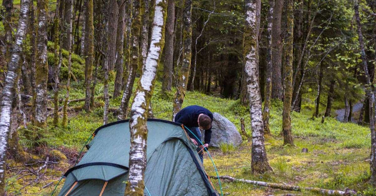
Even though there are many great B&Bs and guest houses on the West Highland Way, I highly recommend camping. Waking up to fresh air and beautiful scenery is just one of the many benefits of sleeping in a tent on the WHW. When it comes to the WHW, finding a great place to pitch your tent is much easier than finding an available bed. The ability to pitch a tent whenever you feel like calling it a day is a huge plus on every multi-day hike. It’s the best option if you want to walk at your own pace.
Thanks to something called the Scottish Outdoor Access Code, Scotland has become a true campaign paradise. Although there are a few exceptions, wild camping in Scotland is perfectly legal in Scotland.
Between March and September, camping Byelaws operate within the Loch Lomond and the Trossachs National Park. You can camp only with a camping permit or within designated campsites. As for the rest of the West Highland Way, there are no such obstacles.
You will also see many designated campgrounds on the West Highland Way. There are a few free ones as well, but they generally offer just a few if any amenities. It’s still possible to use a luggage service when camping on the West Highland Way; many businesses will happily carry your tent.
Milngavie
The following campsites may be out of the way for some walkers, as they are a few miles past the starting point of the trail.
If you want to test your gear one last time before you start walking, the West Highland Way Campsite may be your best bet. You can pitch your own tent or stay in their well-appointed caravans and luxury safari tents.
Services at the West Highland Campsite:
- Breakfast
- WiFi
- Electronics charging
- Kitchen
- Potable water
- Hot showers
- Toilets
Price per person: £25 ($35)
Nearby in Milngavie:
- Bus and train connections
- Pubs, cafes, restaurants
- Outdoor trailer
- Post office
- Banks/ATMs
- Pharmacy
- Supermarkets
- Taxi service
Drymen
About 1.5 miles from the town, there is a small campground surrounded by superb scenery. It’s also the only designated campground in the area that’s worth considering.
If this is not your cup of tea, there is a wild-camping area in Garadhban Forest further on.
There are no full grocery stores between Drymen and Tyndrom, so make sure to do some shopping while you are here.
Services at Drymen Camping:
- Cooking area
- Electronics charging
- Dishwashing sink
- Potable water
- Hot showers
- Toilets (bring your own TP!)
Price: £8 ($12)
Nearby in Drymen:
- Taxi service
- Bus connections
- Health centre/dentist
- Post office
- ATM
- Pubs, cafes, restaurants
- Library (with free WiFi)
- Grocery store
Rowardennan and the Loch Lomond Area
There are many options for camping along the “bonnie banks” of Loch Lomond. The best ones are Sallochy Campsite, Cashel Caravan and Campsite, and Milarrochy Bay. All three campsites are located on the eastern shore of the loch.
I chose to stay at Sallochy, a semi-formal campground, and I highly recommend that you do the same. In terms of facilities, it is the most basic of the three campsites. However, it is secluded, serene, and incredibly beautiful.
Moreover, stage 3 of the West Highland Way is the most difficult stage of the entire route. You’ll have a head start for the day ahead if you make it all the way to Sallochy.
The Sallochy Campsite is operated by Forestry and Land Scotland and the rangers here are very friendly and helpful.
Keep in mind, that wild camping is not permitted in Loch Lomond and the Trossachs National Park between March and September.
Services at Sallochy Campsite:
- Firepit and firewood rentals
- Sinks
- Potable water
- Composting toilets
Price: £7 ($10)
Note: You must make reservations in advance
Services at Cashel Caravan and Campsite:
- Website
- Small shop
- Laundry
- Dishwashing area
- Electronics charging
- Hot showers
- Potable Water
- Toilets
Price per person: £9 – 15 ($13 – $21)
Services at Milarrochy Bay Campsite:
- WiFi
- Electronics charging
- Small shop
- Cooking area
- Hot showers
- Potable water
- Toilets
Price per person: £7 – 10 ($10 – $14)
Nearby in Rowardennan:
- Hostel with a basic shop
- Hotel
- Pub
Inverarnan
Beinglas Farm is the traditional stopping point for campers walking the West Highland Way. But, if you think that hiking all the way to Beinglas Farm might be too much, Doune Bothy is probably a better option for you.
Friendly staff, clean hot showers, and an opportunity to drink a cold beer after 9 hours of hiking are the main reasons why most of us loved camping at Beinglas Farm. But, I must also mention that this is the “most midge” campsite along the West Highland Way, at least in my experience.
Doune Bothy is just a simple stone structure with a fireplace. Camping here is free.
If you find the challenging terrain of this stage to be too much for a day’s walk, you can pitch a tent in the camping area of Inversnaid Hotel or Inversnaid Bunkhouse and simply stay at Beinglas Farm the following night.
Services at Beinglas Farm:
- Electronics charging
- WiFi
- Restaurant/bar
- Laundry/facilities
- Indoor cooking area
- Hot showers
- Potable water
- Toilets
Price: £8 ($11)
Nearby in Inverarnan*
- Transportation connections
- Pub
- Hotels
*If you would like to resupply at a proper supermarket, you can make a detour to Crianlarich.
Services at Inversnaid Hotel:
- Bus connections
- Restaurant/bar
- WiFi (at the hotel bar)
- Potable water (at the hotel bar)
- Toilets (at the hotel bar)
Price: Free
Services at Inversnaid Bunkhouse:
- Restaurant/bar
- Electronics charging
- Kitchen
- Free WiFi
- Hot showers
- Potable water
- Toilets
Price per person: £10 ($14)
Tyndrum
Near Tyndrum, there are three options for camping. The first one you’ll come across is Strathfillan Wigwams. It’s quiet, and the surroundings are spectacular. I didn’t pick this one because it is not very close to the services in town but I wish I did.
The next one is Pine Trees Caravan Park. It is considerably less scenic, quite big, and, unsurprisingly, dominated by caravans. On the plus side, it’s conveniently located in the centre of Tyndrum. I stayed here, even though it wasn’t my first choice.
Why? Well, my plan was to camp at the By the Way Hostel and Campground. But, there had been a significant amount of rain that day and they didn’t accept any campers because the ground was too water-logged. The hostel was fully booked, so I walked back to Pine Trees Caravan Park.
Even when the weather is good, By the Way Hostel and Campground only accept one or two-person tents.
Services at Strathfillan Wigwams:
- WiFi (£3 for 24 hours)
- Small shop
- Electronics charging
- Laundry
- Indoor cooking area
- Hot showers (£1)
- Sinks
- Potable water
- Toilets
Price: £8 ($11)
Services at By The Way Hostel and Campground:
- WiFi
- Electronics charging
- Kitchen
- Indoor dishwashing area
- Heated drying room
- Laundry facilities
- Hot showers
- Potable water
- Toilets
Services at Pine Trees Caravan Park and Camping:
- WiFi
- Electronics charging
- Laundry facilities
- Hot showers
- Potable water
- Toilets
Price per person: £10 ($14)
Nearby in Tyndrum*
- Train station
- ATM
- Post office
- Outdoor trailer
- Supermarket
Make sure to stock up on food and supplies while you are here. You won’t see a proper shop along the West Highland Way again until you reach the final rest stop of your hiking adventure.
Bridge of Orchy
There is a free camping area across the bridge, past the hotel. Next to the entrance of the hotel, you will find potable water. This is pretty much it when it comes to facilities and amenities. There are no toilets, but you can use the hotel bathroom if you leave a donation on the tray by the bar or buy something at the bar/restaurant.
However, you can only use the hotel bathroom while the hotel bar is open. Your other option is the wooded area behind the campground. It’s not ideal, but you’ll be fine as long as you bring a trowel and a positive attitude.
Services at Bridge of Orchy:
- Toilets (only when the hotel bar is open; only with purchase)
- Potable water
Price: Free
Nearby in Bridge of Orchy:
- Post office
- Bus and train connections
- Restaurant/bar
The Invernonan Hotel is three miles further down the route. It’s well worth considering if you are willing to extend this stage. The Hotel offers free camping. There’s also a restaurant on-site and a water tap.
Kingshouse Hotel Glencoe
Depending on how much luxury you are looking for, you have two nice campgrounds along this section of the West Highland Way. Well, you’ll actually need to make a slight detour to reach the Glencoe Mountain Resort campground, but it’s well worth it.
Here, you can enjoy great, grassy pitches, and modern amenities. It’s also a nice place to hang out with other walkers. I liked it so much that I decided to spend an extra day here and unwind.
Considering that the following section of the route is a climb over the sinisterly named Devil’s Staircase, one of the toughest parts of the entire way, I advise all inexperienced hikers to do the same.
If free camping is what you are after, there’s an established wild camping area a bit further down the route, right next to the Kingshouse Hotel. You can use the public toilets behind the bunkhouse for free.
I didn’t camp here because I was told that level spots are hard to come by and that the campground can be a bit boggy. But I did have a nice lunch at the hotel restaurant, as mentioned.
Services at Glencoe Mountain Resort:
- WiFi
- Cafe/bar
- Electronics charging
- Hot showers (£1)
- Potable water
- Toilets
Price per person: £6 ($8.5)
Services at Kingshouse Hotel:
- Restaurant/bar
- Hot showers ((£1 for 5 minutes)
- Potable water
- Toilets
Price: Free
Nearby in Glencoe Village*
- Medical centre
- ATM
- Small grocery store
Glencoe Village is about 9 miles away from the main walking route. However, there’s a bus that goes from Kingshouse Hostel to Glencoe. It runs every few hours.
Kinlochleven
When you get to Kinlochleven, you can pitch your tent next to the Blackwater Hostel or the MacDonald Hotel. Both areas are designated campgrounds.
I stayed at a B&Bs when I reached Kinlochleven, not because there’s anything wrong with these campsites, but because… well… because I earned it. This is the last rest stop on the West Highland Way, after all. It was the right call because I was well-rested for the steep climb out of the village—via the beautiful Glen Nevis.
Almost immediately upon entering Kinlochleven, the route passes the Blackwater Hostel. They only allow one or two-person tents. On the upside, reservations are not needed.
The MacDonald Hostel is at the far end of the village. Reservations are recommended during the busy season, and there are only 11 pitches. Moreover, they only allow one or two-person tents. From what I’ve heard, it’s still worth the extra walk. The views of Loch Lomond are spectacular and the staff is very friendly.
Services at Blackwater Hostel:
- WiFi
- Electronics charging
- Drying room
- Covered cooking area
- Hot showers
- Potable water
- Toilets
Price per person: £10 ($14)
Services at MacDonald Hotel:
- WiFi
- Electronics charging
- Restaurant/bar
- Heated drying room
- Indoor cooking area
- Hot showers
- Potable water
- Toilets
Price per person: £10 ($14)
Nearby in Kinlochleven:
- Taxi service
- Bus connections
- Library (with free WiFi)
- Pubs, cafes, restaurants
- Outdoor retailer
- Post office
- Supermarket
Fort William Glen Nevis
I treated myself to a real bed when I reached the end of the West Highland Way in Fort William. This time it was planned. But, this doesn’t mean that there aren’t options for hardcore campers in the area.
If you plan on climbing Ben Nevis upon completing the West Highland Way, camping at the Glen Nevis Caravan and Camping Park is the most convenient option. It’s located right next to the old military road that makes up the last section of the trail, just a couple of miles before Fort William.
Services at Glen Nevis Caravan and Camping Park:
- WiFi (£5.00 per day)
- Electronics charging
- Small shop
- Restaurant/bar
- Dishwashing area
- Laundry
- Hot showers
- Potable water
- Toilets
Price: £10 ($14)
Fort William is a popular tourist centre, so you won’t have a hard time finding anything you might need.
Accommodation
As mentioned, I camped most nights when I hiked the West Highland Way. But I asked a few friends that I made along the way to help me put this list together.
Milngavie
Instead of starting their walk right away, many people choose to spend their first night in Milngavie. The Premier Inn Glasgow offers great value for the price. If you are looking for something higher-end, you can spend the night at West Highland Way Rooms.
Drymen
Drymen offers a choice of hotels and B&Bs. Ashbank Bed and Breakfast is great for those who are seeking a bit of luxury. It’s welcoming, clean, and you can expect a hearty breakfast.
If you are on a tight budget, consider staying at the Winnock Hotel. It’s not a particularly fancy place, but the location is great and there are many amenities, including a restaurant and bar on site.
Balmaha
This village on the eastern shore of Loch Lomond is an alternative stop on the West Highland Way. There aren’t many accommodation providers in this village. Some of the few include the Balmaha Bunkhouse/Hostel and the Oak Tree Inn (a bit pricey).
Rowardennan
There aren’t many accommodation options in Rowardennan either, as the village is a bit isolated. Budget-friendly options include the Ben Lomond Bunkhouse and the Rowardennan Lodge Youth Hostel.
The bunkhouse only has a couple of rooms and a communal kitchen. The hostel has a drying room, laundry facilities, and a self-catering kitchen. They also offer private rooms.
Rowardennan Hotel is the only high-end option in the area. This is a historic hotel located on the banks of the lake.
Inverarnan
Again, a small village, but it does offer a few accommodation options. On top of tent campsites and basic camping cabins, Beinglas Farm offers a variety of lodging options, including a lovely B&B. On site, you will find a small shop, a good restaurant, and laundry facilities.
There’s also the Drovers Inn, another popular historic hotel on the trail. Although I stayed at Beinglas Farms, a few fellow hikers told me they really liked the restaurant there. Full disclosure: They also told me that the place is haunted, though…
Tyndrum
Tyndrum is a great place to buy supplies and pack lunches. I highly recommend stopping at the Real Food Cafe. As for lodging, hikers rave about Glengarry House, a nice B&B located on the outskirts of the village.
There’s also the By the Way Hostel and Campsite. You will find a few well-maintained facilities here, including a communal kitchen and a drying room.
Inveroran
Some hikers choose to hike to Inveroran, an old coaching inn, instead of Bridge of Orchy. Rooms start at £52 per person, per night.
It’s a nice place to have a hot meal, a cup of tea, and grab a packed lunch. There’s also a drying room. If you don’t want to stay in the hotel, but still want to walk this route, there’s a camping area nearby.
Kingshouse Hotel Glencoe
As mentioned, the rooms at the Kingshouse Hotel are expensive. But most hikers come here for the amazing scenery, not the lodging. Again, you also have the option of staying in the bunkhouse or pitching a tent next to the hotel if you don’t want to rent a private room.
If there’s one place on the WHW you should treat yourself to a luxurious meal, this is it. There is a more casual pub next door if you are not interested in the hotel’s upscale restaurant. If you would rather spend the night in Glencoe, some of your options include the Glencoe Independent Hostel and the Glencoe Mountain Resort.
The Glencoe Mountain Resort has its own cafe; it’s also a great place to relax and swap stories with other hikers. You will need to bring your own sleeping bag if you want to stay at the Glencoe Mountain Resort as the accommodation is very basic.
Kinlochleven
In Kinlochleven, near the end of the West Highland Way, I decided to treat myself to a stay at a cosy B&B called Allengrange instead of sleeping in my tent. This B&B has a separate drying room for gear and clothing, and there’s a co-op supermarket and a few nice restaurants in the nearby village.
I’ve been told that the Blackwater Hostel in Kinlochleven is one of the best hostels along the WHW. It has a well-equipped communal kitchen and drying rooms. MacDonald Hotel and Cabins, located on the banks of Loch Leven, is another famous establishment along the trail.
Fort William
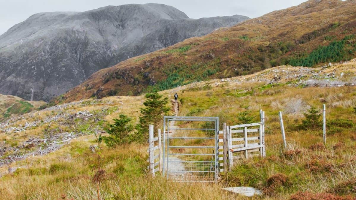
When you make it to Fort William, you won’t have a hard time finding accommodation that perfectly fits your budget and your needs (unless it is the holiday season). But, of all of the places to stay in Fort William, Fort William Backpackers and Myrtle Bank Guest House really stand out.
Fort William Backpackers is a welcoming hostel that boasts tons of quirky charm. Some of the features are a bit dated as it is set in a cosy historic house.
The hostel serves affordable continental breakfast. It also has a lovely communal kitchen. I was lucky enough to get the only twin room in the hostel.
Again, it’s best to book accommodation at least 3 months in advance, especially if you plan to walk the WHW during the busy season.
Difficulty and Preparation
In my opinion, the West Highland Way is one of the least challenging hikes of Scotland’s Great Trails. It’s one of my favourite long distance walks because it offers some of the highest beauty-to-difficulty value.
But don’t expect a wall in the park, I’m not saying that it will be easy. The West Highland Way is still a long distance trail that crosses the remote wilderness of Rannoch Moor, so it still requires a great sense of determination and a reasonable level of fitness.
What I can guarantee is that you will enjoy the hike more if you start preparing on time. In the months leading up to your West Highland Way adventure, focus on building your aerobic endurance.
I recommend starting at least six months before your trip if you haven’t been doing any sort of “cardio” exercise. Longer bouts of running or should become a part of your regular routine. Increase the intensity and frequency of your exercises about three months before your trip.
To achieve ample leg strength for the West Highland Way, I started doing step-ups, lunges, and goblet squats. Doing three sets of each exercise, three times per week, helped me tremendously. Compared to my previous hikes, I had an easier time navigating steep ascents and descents.
Make sure to complete a few challenging day hikes in the weeks leading up to your West Highland Way adventure. Add as much weight to your pack as you can.
Navigation
The West Highland Way is a very well-marked trail. Still, you should be able to find your way in the wilderness without relying on signs – just in case. Bring a GPS device, a compass, and a map.
I highly recommend you get the West Highland Way Footprint Map or the Cirecone West Highland Way Map. The first one is more of a traditional map while the other includes the whole route in a pocket-sized book.
You can download GPS maps for offline use from the official website of the route.
What to Pack for the West Highland Way
The wrong footwear will cause an early end to your West Highland Way hike. When it comes to hiking holidays in the Scottish Highlands, A good pair of hiking boots is the most important piece of outdoor gear to bring. If you are buying new hiking shoes for the West Highland Way, make sure to break them in before you start your adventure. You should put at least 30 miles on them. This will help you avoid blisters on the trail. See my packing list for the WHW.
To make sure your feet will stay warm and dry, pack several pairs of merino wool socks. Merino wool is quick-drying, moisture-wicking, and super comfortable.
You will also need a backpack with a hip belt and a rain cover. Rain covers are usually sold separately, although most newer models already include one.
It’s important to get the size right. If you plan on sleeping in hotels and guest houses or using a luggage transfer service, a 40L backpack will suffice. If not, you need a hiking pack with a volume between 45 and 60 litres. Just like hiking shoes, packs need to be broken in through use.
And, let’s not forget about those annoying midges. You will need a midge net and midge repellent.
On the West Highland Way, you may experience four seasons in one day. To make sure you’ll stay comfortable, bring layers for all types of weather.
When it comes to optional gear, trekking poles are always my first choice. If you are carrying a heavier load, you’ll be glad to have them on steep sections.
This is just the tip of the iceberg. I’ve created a comprehensive packing list for the West Highland Way. You can check it out here. I also suggest checking out my post on Planning for the West Highland Way.
If you would like to take on an easier trail, check out my post on walking the Annandale Way and St Cuthbert’s Way.
Self-Guided Walking Holidays
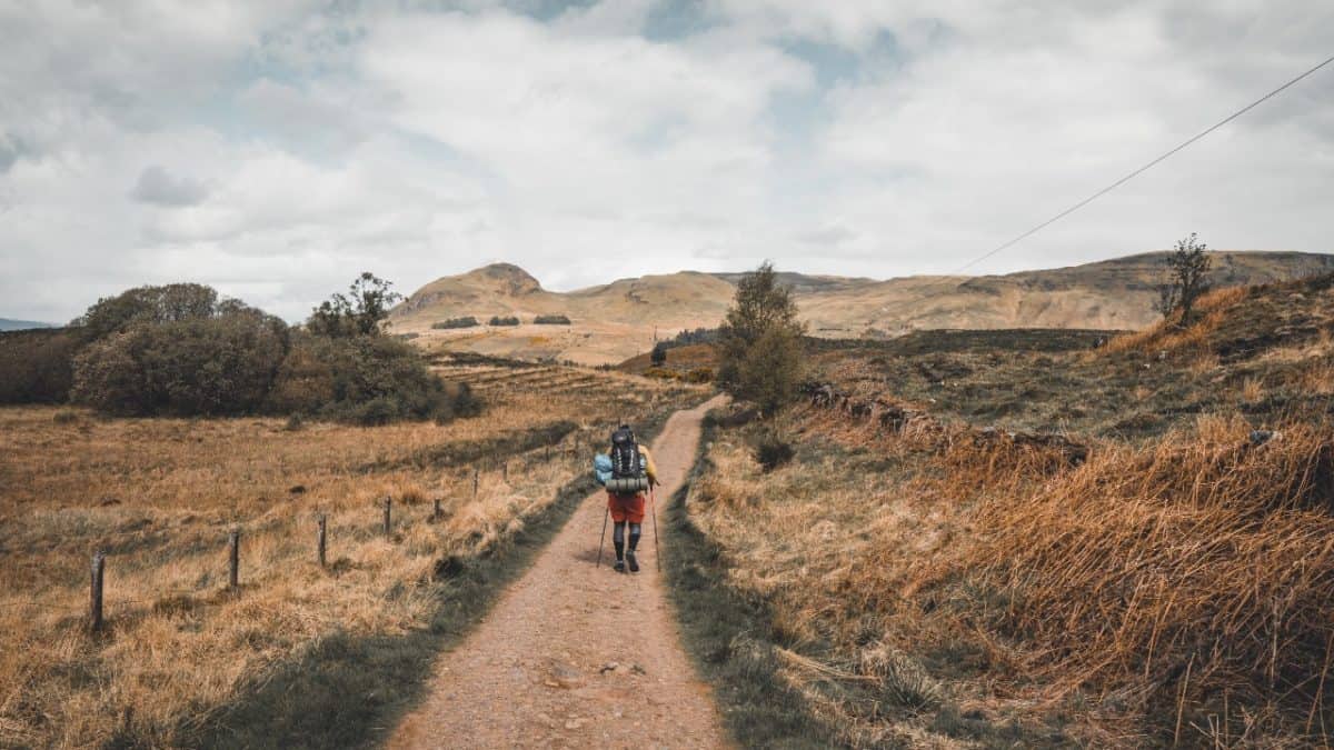
I love planning hiking holidays on my own; it’s part of the fun. But I understand why many hikers find it to be a pain in the neck. Even with online guides such as this one, it can be very time-consuming.
If you want to make it easier on yourself, consider booking a self-guided West Highland Way hiking tour. There are many local tour agencies that can plan and organize every step of your walking holiday. And, if something goes wrong, they will provide immediate support.
I can’t personally vouch for any travel company, but I do know that Wilderness Scotland has been named one of the best adventure travel companies by National Geographic and that they offer self-guided tours.
Self-guided tours have their downsides as well, the biggest one being that you don’t have full control over the places you’ll be staying at.
Guided Walking Holiday
Truth be told, I can’t come up with many good reasons why guided walking holidays are worth the money. Unless you absolutely refuse to learn how to read a map, you don’t really need a guide.
Guided tours are a good way of meeting people on the West Highland Way. But, if you don’t happen to get along with your group—tough luck. You’re stuck with them for the rest of your hike.
Other FAQs About the West Highland Way
Can I Walk the West Highland Way With My Dog?
Yes, you can. If you adhere to the Outdoor Access Code for dog walking and keep your pet under proper control, the rangers won’t give you any trouble. That said, I think I can be too big of a hassle and that you may come to regret your decision very quickly.
You will encounter many different creatures along the route, such as feral goats, wild pigs, sheep, weasels, ponies, and hens. Unless you are absolutely sure that you can keep your dog under control in such situations, it’s best to find another companion for your walking holiday.
Moreover, the section over Conic Hill is closed for dog walkers during lambing. However, there is an alternative route you can take.
How Difficult Is It to Walk the West Highland Way As a Vegan?
While you won’t find that many satisfying vegan options along the trail, walking the WHW as a vegan is absolutely doable.
There are many places along the trail where you can stock up on fruit, veggies, hummus, bagels, and Trek bars. Moreover, many hostels and campsites have a kitchen area where you can prepare your own meals.
Most pubs and restaurants along the trail have at least one vegan option on the menu, while the Real Food Cafe in Tyndrum and Wetherspoon the Great Glen in Fort William have a separate vegan menu.
Is Walking the West Highland Way Solo a Good Idea?
The UK is one of the safest countries for solo female travel, and the West Highland Way is one of the most popular trails among solo travellers.
I had a lot of fun walking the WHW by myself, and I’ve befriended a few other solo walkers along the way.
If you can’t find a buddy for your walk, don’t worry. We’re a social bunch in Scotland. There’s a good chance you will meet a friendly fellow walker at each stop. Alternatively, you can do a callout in the West Highland Way Support Group on Facebook. Lastly, this is my list of the best places to eat.
Takeaway
There you have it, my comprehensive guide to the West Highland Way. If you would like to add a few tips, or if you think that I forgot to mention something, please leave a comment below. You can also check out our shorter post titled What to Know About the West Highland Way.
I love hiking, backpacking, and camping. From the Camino de Santiago to the West Highland Way in Scotland or simply a great day hike on the weekend. Hiking refreshes me, my mind, and keeps my body reasonably fit. So far I have walked three Camino routes and many other long distance hikes in the UK, Canada, and around the rest of Europe. One of the best was my hike up Ben Nevis.

Thanks Leslie,
You have written a brilliant resource, that is well organised and easy to use.
I’m about to do the WHW in 2 weeks and your website has been invaluable in helping me plan and organise my trip.
Regards
Jonathan